Our Approach
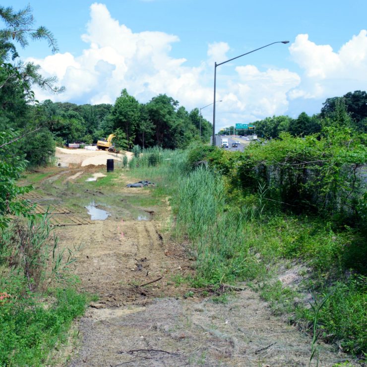
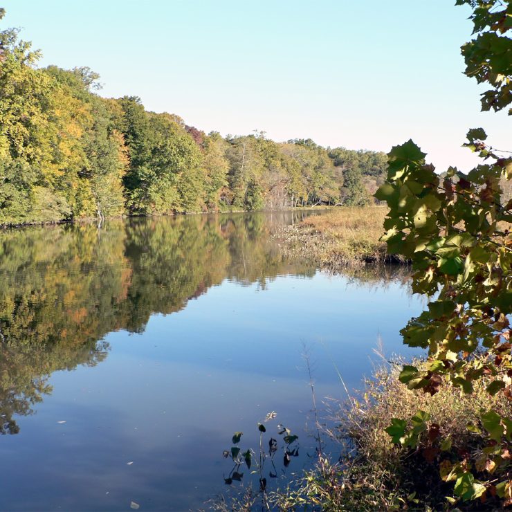
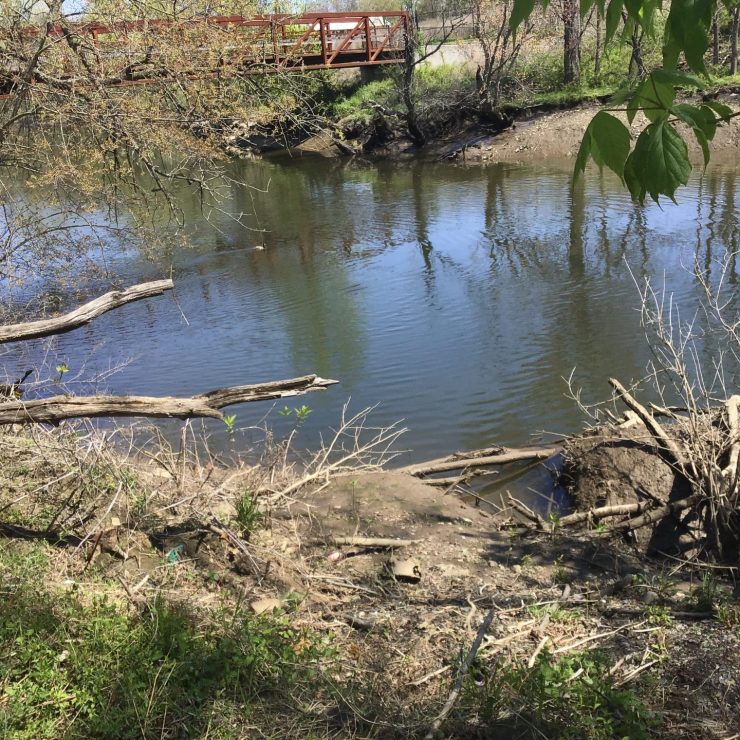
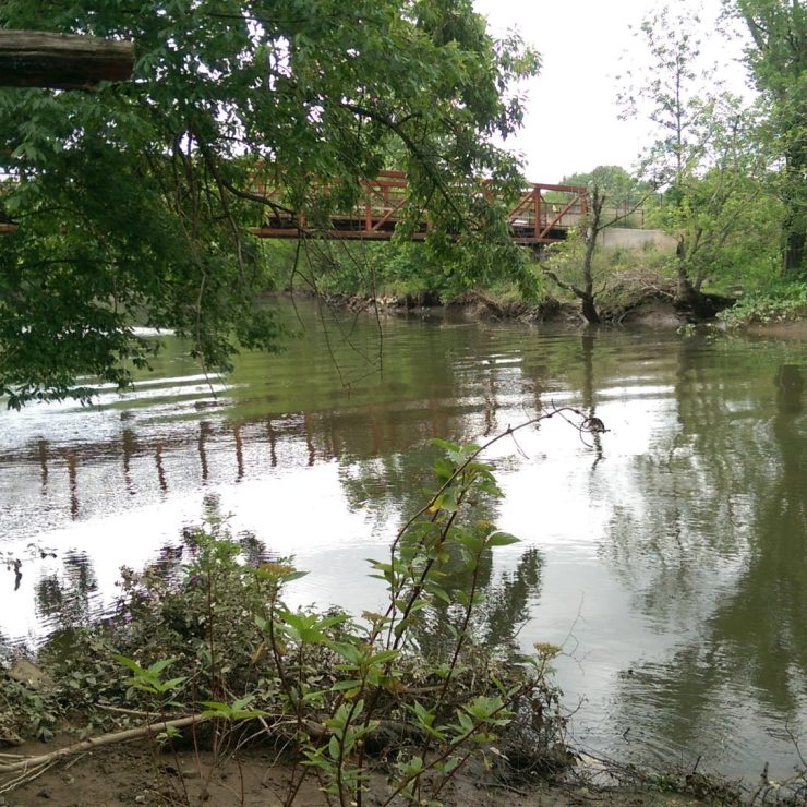
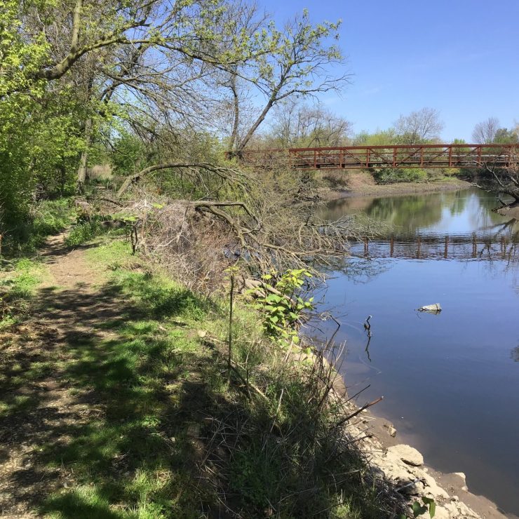
Severe undercutting along Pennypack Creek prompted a proposed stabilization project along approximately 205 feet of streambank near the creek’s confluence with the Delaware River. Because the work is located within a mapped floodway, the project team needed to understand whether the improvements could affect regulatory flood elevations or trigger additional FEMA map-change requirements.
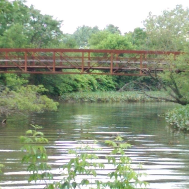
Straughan reviewed FEMA mapping, the Flood Insurance Study, project plans, and the effective HEC-2 hydraulic model to evaluate existing floodplain conditions and the potential influence of the proposed work. The review identified an important limitation in the effective model: an existing pedestrian bridge and associated fill affecting local hydraulics were not represented.
Based on the available information, Straughan concluded that the proposed stabilization improvements were not anticipated to adversely affect regulatory Base Flood Elevations or the riverine floodway, while also documenting where more extensive modeling would be needed for a fully updated hydraulic assessment.