Our Approach
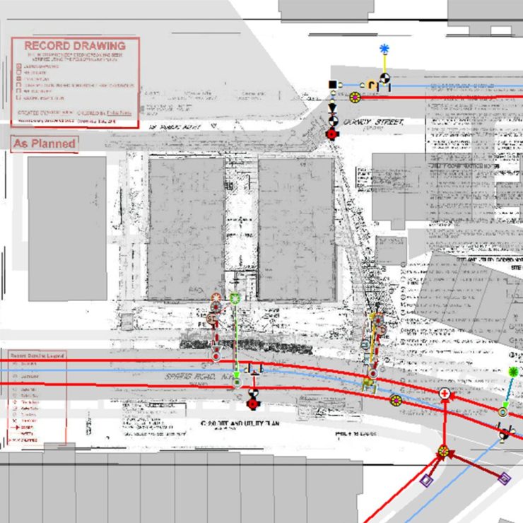
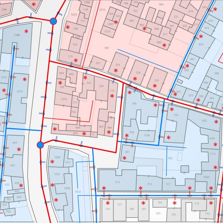
Straughan Environmental is partnering with Loudoun Water to strengthen and update the quality and reliability of its infrastructure data. The Straughan team is responsible for capturing easements and vacations related to water, reclaimed water, and wastewater systems, transforming them into GIS polygon features that integrate with existing asset and property data.
Using surveying plats, Loudoun Water’s utility and property layers, and high-resolution aerial imagery as primary inputs, the team follows a structured workflow to ensure every easement is correctly georeferenced, attributed and aligned with current property boundaries and easement layers. Easements or portions of easements that have been vacated are included in the datasets to maintain spatial consistency and tracking. This work enhances Loudoun Water’s ability to manage its infrastructure, plan improvements, and maintain accurate, up‑to‑date spatial records. With a strong focus on accuracy and consistency, Straughan ensures that every dataset supports Loudoun Water’s operational needs and long‑term planning goals.