Our Approach
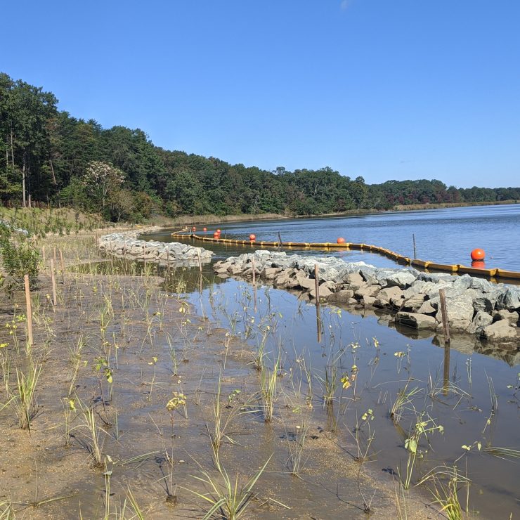
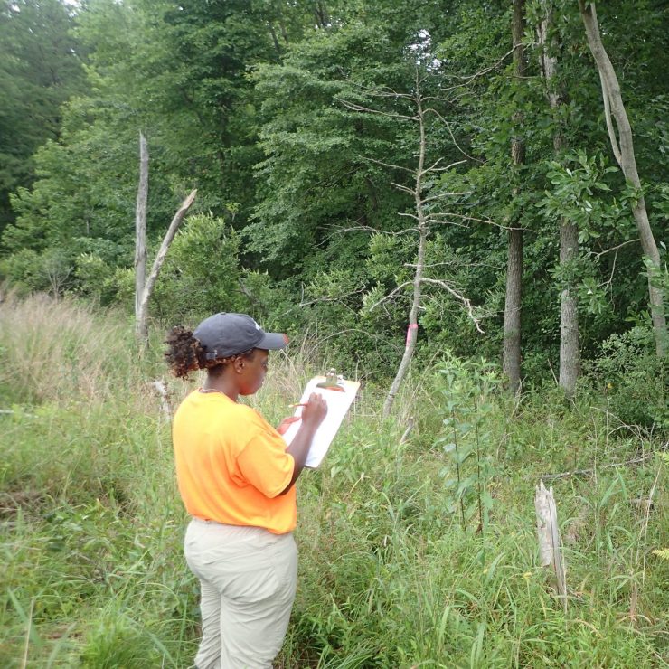
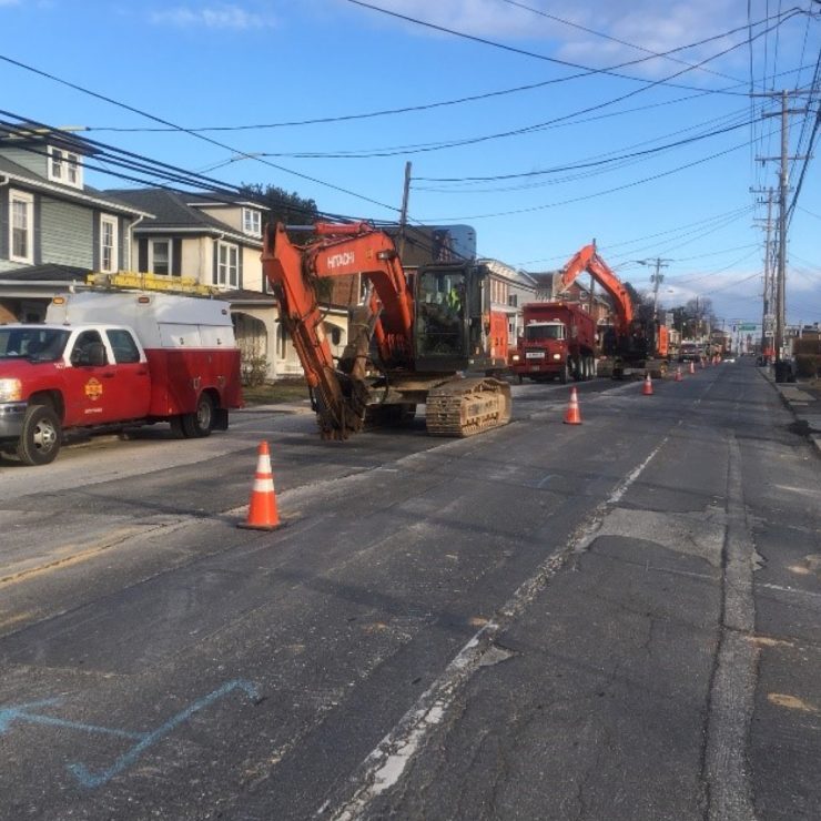
As part of the Landscape Operations Asset Management Inventory Services, Straughan had a pivotal role in the development, testing, and implementation of a GIS field collection application for field teams. Landscape Asset Inventory Inspection Application (LAIIA) is a web-based application and can be accessed from tablets or mobile phones. This application is designed to capture a GIS inventory of landscape assets (including trees and shrubs, stream restoration sites, and mitigation banking locations) tied to permitting conditions set forth by varying government agencies (DNR, MDE, ACE). The permitting conditions are based upon environmental impacts during construction activities for closeout of highway infrastructure projects. The application is also designed to inspect, monitor, and report on the conditions of these individual landscape assets or the mitigation site as a whole.
The LAIIA is configured to deploy a comprehensive digital form using Esri’s Survey123 application through the State of Maryland’s ArcGIS Online system. The digital survey form within LAIIA can be customized with relevant data associated with specifications of contracts and permit conditions. Data is captured to best objectively monitor the condition of the site as a whole to ensure closeout of the permitting application and subsequent closeout of very large highway infrastructure projects.
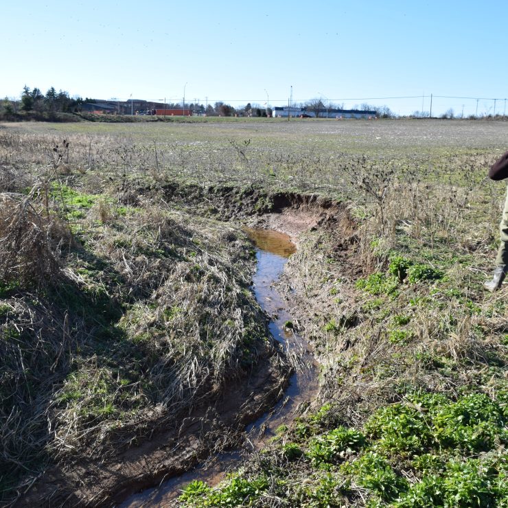
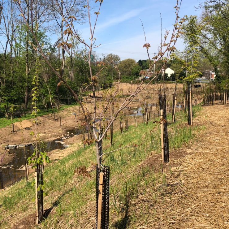
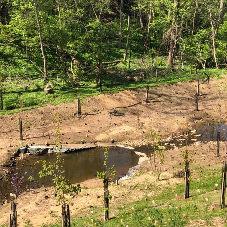
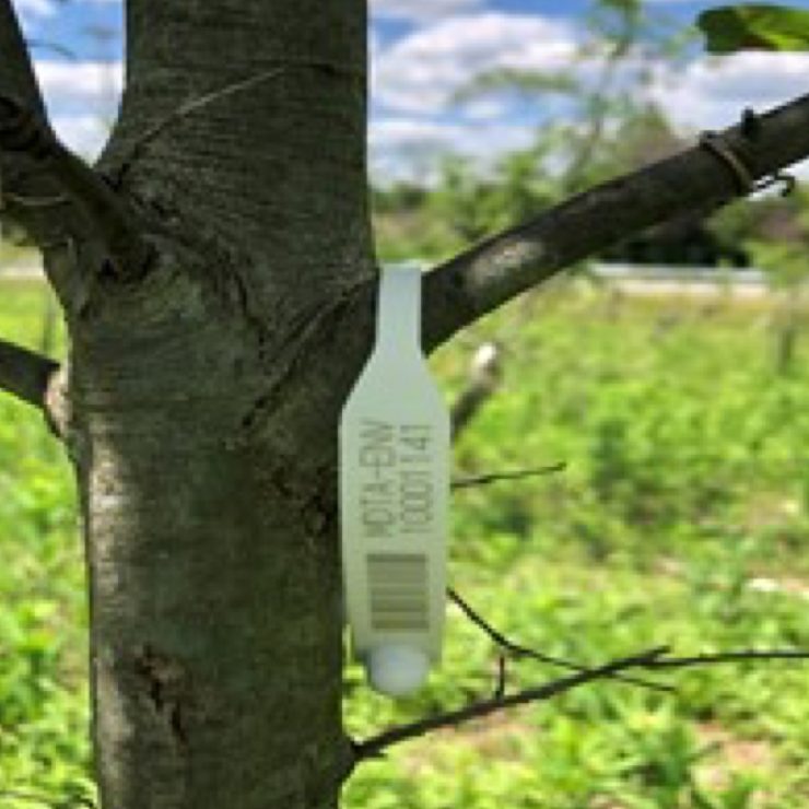
The use of LAIIA allows for the efficient collection of site data such as asset location and survivability, encroachment of invasive species, pest damage, stream bank condition, in-field pictures and images, and overall health of the site. Data can be input into the LAIIA survey forms by scanning the bar-coded tree seals or manually. The unique barcoded, waterproof, recyclable tree seals can be affixed to planting assets as early as initial acceptance at nursery inspections. The barcodes are intended to stay affixed to the planting asset and allows it to be tracked prior to purchase thru planting, establishment, and monitoring phases which can last up to 5 years.
The application enhances the GIS asset management tracking system and provides the following benefits to MDTA:
- Reduced in the field manhours while also increasing accuracy of asset condition and inventory data.
- Increased responsiveness to low performing project sites.
- Streamlined post field report generation and data processing.
- Served as a tool of transparency and reporting vital to the required coordination with permitting agencies.
- Provides data that can be helpful in planning future projects.
- Reduced paper consumption saving money and eliminating waste.