Our Approach
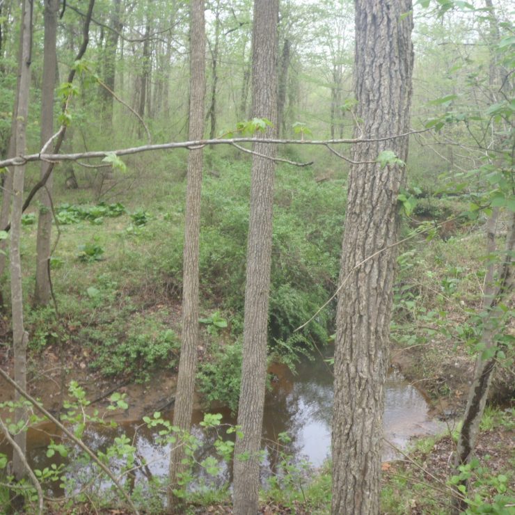
Straughan supported the Maryland Department of the Environment (MDE) in evaluating multiple modeling platforms for implementation of statewide flood potential mapping. Acting as an independent technical evaluator, Straughan developed watershed-scale 2D hydraulic models in four representative Maryland watersheds, simulating 1%, 10%, and 100% annual exceedance probability events. Deliverables included GIS-ready flood inundation and depth rasters to support screening-level flood risk assessment.
In addition to model development, Straughan conducted mesh resolution sensitivity testing, evaluated infrastructure representation strategies, and developed a statewide scalability and cost framework. The effort provided MDE with a defensible technical basis for comparing modeling platforms and informed future decisions regarding viable pathways for statewide watershed flood mapping.