By: Alessandra (Allie) Ward, PWS, ISA-CA, QP
For the third consecutive year, Straughan wetland professionals Isha McKnight (PWS), Allie Ward (PWS), and Lindsay Albright had the pleasure of teaching a wetland delineation overview class for students enrolled in a University of Delaware (U Del) Wetlands course. The class included a lecture on wetland policies, permitting, and delineation procedures, and then the students visited a local wetland for a field practicum.
The lecture began with a short introduction of each professional’s career path and an overview of their work. Then, they went into what a wetland investigation is, why it might be needed for wetland permitting purposes, when wetland impacts must occur, and why mitigation might be required. The team gave a brief definition of Waters of the United States (WOTUS) and wetland regulations, highlighting the EPA’s Clean Water Act Section 404 and its administration by the U.S. Army Corps of Engineers (Corps). Students were shown how the USFWS’s National Wetlands Inventory (NWI) Wetlands Mapper classifies wetlands according to their Cowardin Classification type, distinguishing palustrine and estuarine wetlands, as well as forested and emergent wetlands.
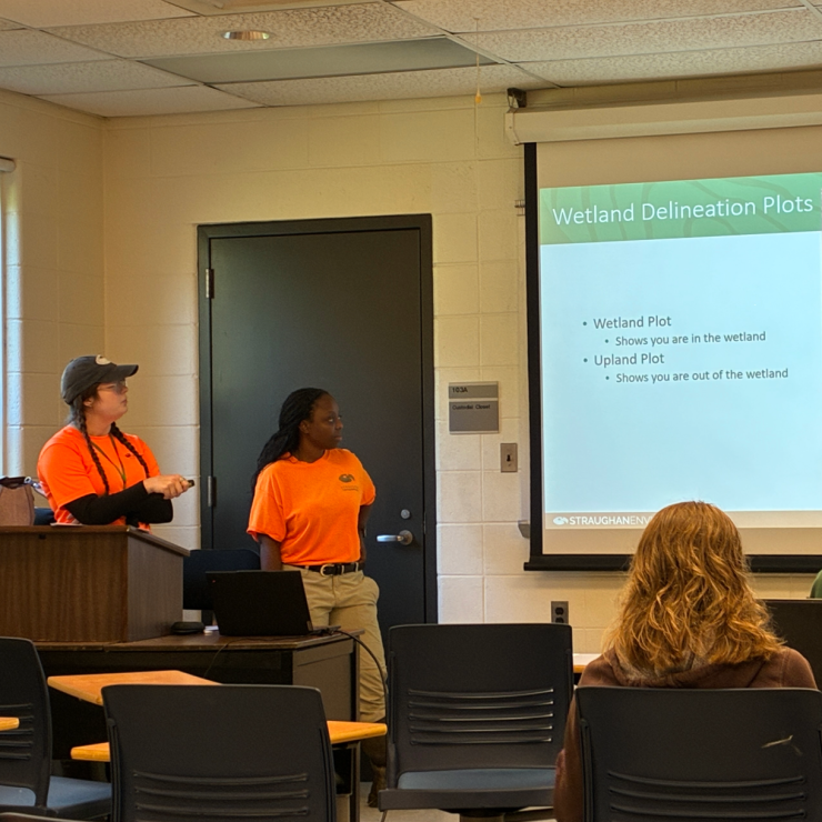
Next, the lecture focused on the Corps’ Wetland Delineation Manual, with emphasis on the Eastern Mountain and Piedmont (EMP) regional supplement applicable to the U Del campus location. The instructors described a jurisdictional wetland as defined by three parameters: wetland hydrology, hydrophytic vegetation, and hydric soils; and provided an overview of the Corps’ EMP wetland delineation form. They pointed out commonly encountered hydrology indicators such as surface water, high water table, and saturation; and common hydric soils indicators in this region including the depleted matrix and redox dark surface. Vegetative strata were defined and the Corps’ National Wetland Plant List (NWPL) was introduced, outlining that each plant has a wetland indicator status. Students were shown an example of a wetland delineation map showing wetland and waterway boundaries within a limit of disturbance as well as locations of wetland and corresponding upland plots. Instructors emphasized the close coordination between Straughan’s environmental scientists and water resources engineers, highlighting the collaborative efforts to minimize impacts to jurisdictional resources.
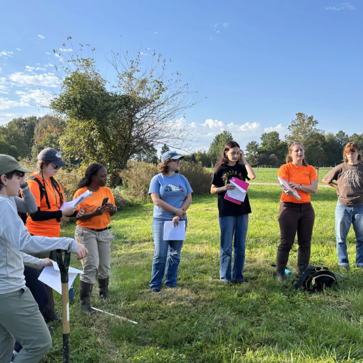
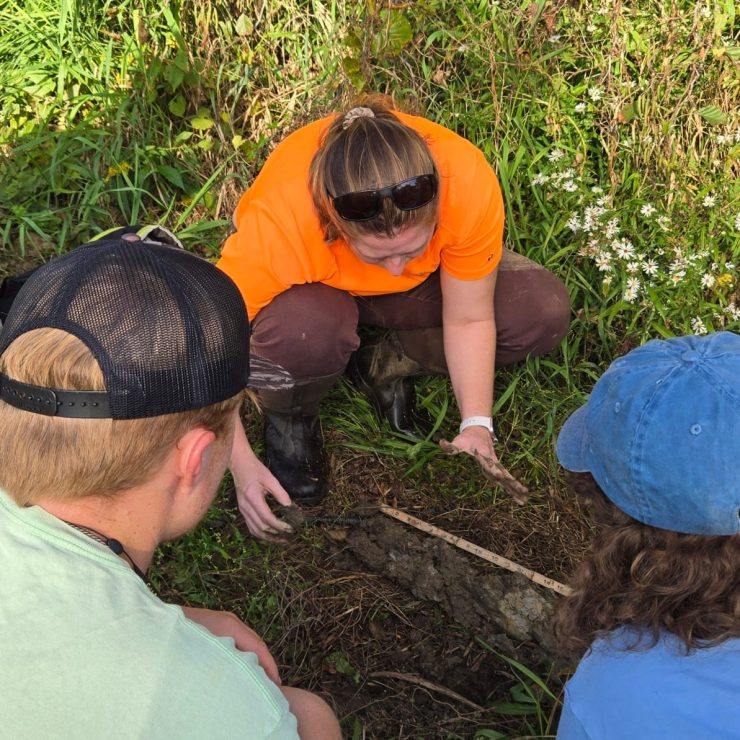
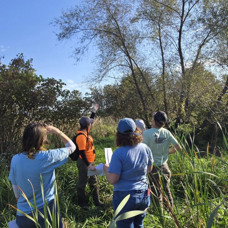
Finally, students were led to a nearby wetland for a field practicum and were given the opportunity to fill out their own wetland determination datasheets. The group deliberated what hydrology indicators they encountered, and then divided into two groups to review vegetation and soils parameters. Lindsay provided an overview of the wetland vegetation on site, and each student completed the vegetation “dominance test.” Allie led the hydric soils component by using a soil auger to collect a 20” soil profile, then students used Munsell color books to identify the color of the soil matrix and redoximorphic features.
Though the course provided just a brief overview, students were able to get a picture of wetland delineation and why it matters for wetland protection. Students showed interest and stayed after the class with questions about wetlands and our careers, including field/office work balance, winter plant ID, and the amount of work experience or training that is required for this professional field. We hope we were able to incite an excitement for wetland delineation as it relates to the world of regulatory compliance. Though “wetland regulatory compliance” does not sound glamorous, the reality is an intimate connection to and protection of our local wetlands and waterways. Straughan welcomes opportunities to connect with students and youth interested in linking their education to the professional landscape. We enjoy partnering with educators to inspire future leaders through hands-on connections with wetlands and introduce them to a purpose-driven career they may love.
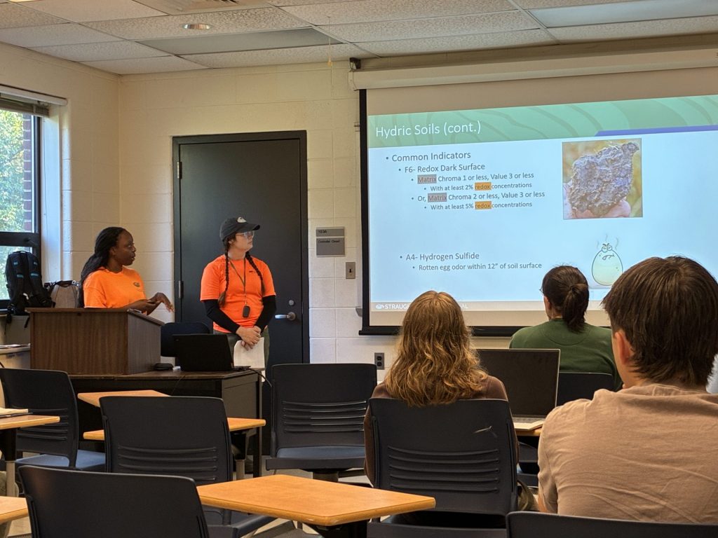
Lindsay Albright and Isha McKnight presenting an overview of a wetland delineation
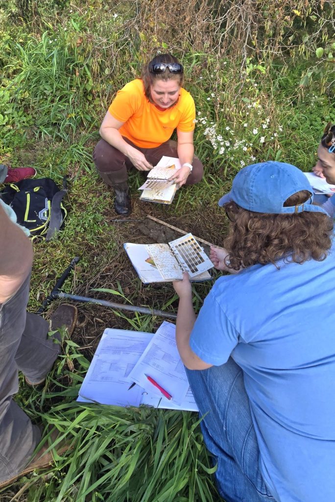
Allie Ward leading field demonstration on hydric soil data collection
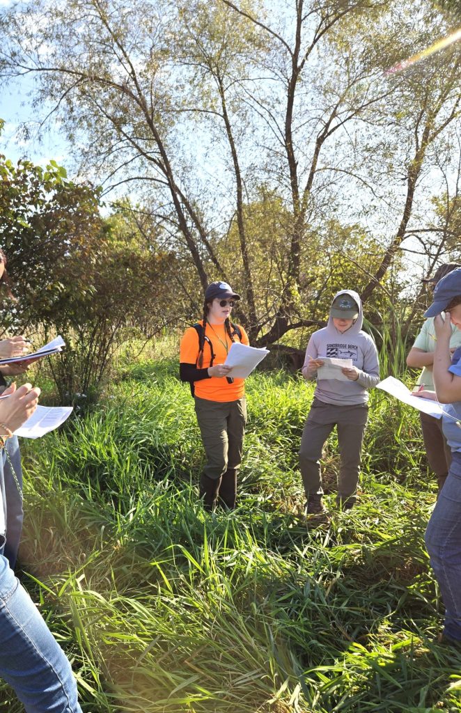
Lindsay Albright leading field demonstration on vegetation data collection
References:
Environmental Laboratory. 1987. Corps of Engineers Wetlands Delineation Manual. Technical Report Y-87-1. U.S. Army Engineer Waterways Experiment Station, Vicksburg, MS.
Federal Geographic Data Committee (FGDC). 2013. Classification of Wetlands and Deepwater Habitats of the United States. FGDC-STD-004-2013. Second Edition. Wetlands Subcommittee, Federal Geographic Data Committee and United States Fish and Wildlife Service, Washington, DC. Updated August 2015.
USACE. 2012. Regional Supplement to the Corps of Engineers Wetland Delineation Manual: Eastern Mountains and Piedmont Region (Version 2.0), ed. J.F. Berkowitz, R.W. Lichvar, C.V. Noble, and J. S. Wakely. ERDC/EL TR-12-9. Vicksburg, MS: U.S. Army Engineer Research and Development Center.
USACE. 2020. National Wetland Plant List, version 3.5. USACE, Engineer Research and Development Center. Cold Regions Research and Engineering Laboratory, Hanover, NH. Available at https://cwbiapp.sec.usace.army.mil/nwpl_static/v34/home/home.html U.S. Fish and Wildlife Services (USFWS). 2017. National Wetlands Inventory (NWI). Available at https://www.fws.gov/wetlands/Data/Mapper.html