By David Ivy
What can a drone currently accomplish?
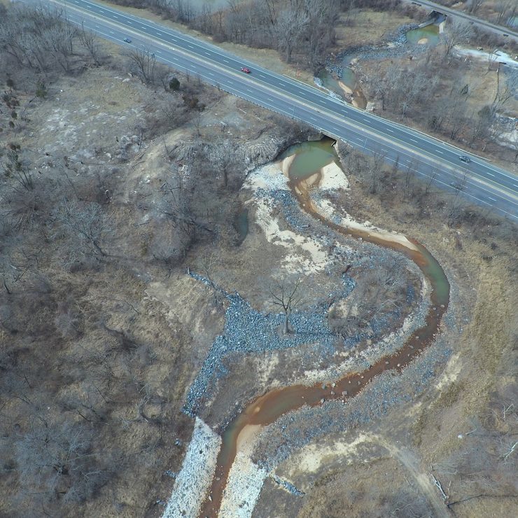
Drones are capable of capturing aerial photographs down to 1 cm ground sampling distance (GSD). Combined with new software such as Pix4D, Drone Deploy, and Drone2Map, these highly precise images can be spliced into orthomosaic maps, which provide the end user with a detailed photo representation of an area in which true distances can be measured between objects. The resulting real-world applications include as-built surveys, volumetric analyses, agricultural mapping, and vegetation surveys just to name a few.
What are the benefits to using a drone?
Efficiency – The inherent labor and processing time associated with traditional surveying and mapping is drastically reduced by capturing data with a drone. For example, a 50-acre site with various landforms and constructed roadways, would typically take an experienced survey crew 1-2 weeks. A similar survey, with marginally less accuracy, could be completed in a day with a drone and related mapping software.
Accessibility and Safety – Drones also allow easy access to unreachable or hazardous site locations, such as highways, bridges, recently flooded forests, or steep hillsides, thus reducing an employee’s risk of injury.
More Useful Data – Drones can capture 3D models of project sites and landforms with minimal additional time compared to taking a series of photographs or videos. 3D models can aid in long-term temporal site analysis for measuring features such as erosion and deposition and for tracking construction progress.
What are the regulations associated with drone use?
The Federal Aviation Administration (FAA) added the Small Unmanned Aircraft rule, commonly referred to as Part 107, to the Code of Federal Regulations in 2016. To fly under Part 107, one must register their drone, pass a test, apply for and obtain a remote pilot’s license, and adhere to all rules associated with Part 107.
What are we working on?
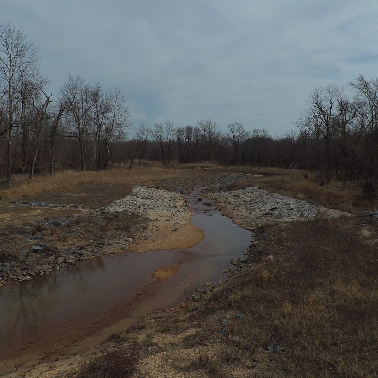
Straughan is utilizing a drone to assist with long-term environmental site monitoring. Below is a recent video comparing existing and post-construction site conditions of a small stream restoration project in Rock Creek. We’ll continue to update the blog with drone footage and technical applications from future projects.
Enjoy!