By: Allie Daniere and Andrew Der
Construction activities that impact (discharge of dredged or fill materials) Waters of the United States (WUS), including wetlands, are federally regulated throughout the country by the U.S. Army Corps of Engineers (COE) and require authorization directly from the applicable COE district office. This is done either by an individual permit or through a pre-issued general permit (GP) for lesser activities, which allows for a more streamlined process not available with an individual permit. Most COE General Permits are effective nationwide depending on the activity type and impact degree and are pre-issued as Nationwide Permits with certain conditions requiring the permittee to demonstrate compliance as part of the application process.
Over time, many states, including Maryland, have developed corresponding waters regulations, and have created formal joint processing procedures to obtain COE and state permits concurrently for efficiency. A few states have directly and entirely assumed the COE program reducing it to one process. While Maryland has not formally assumed the COE program, it has streamlined the process into a joint permit program. The COE and Maryland Department of the Environment (MDE) have elected to suspend the Nationwide Permit in lieu of a unique Maryland-specific general permit issued by the COE to Maryland, programmatically authorizing impacts in a single state General Permit, by activity type and impact degree. The state application process also includes demonstration of compliance with the Maryland State Programmatic General Permit (MDSPGP) conditions and is a supplementary attachment to an MDE authorization.
The COE MDSPGP provides for an even more efficient process over Nationwide Permits and is already issued – and reissued every five years. The current MDSPGP-5 expires September 30, 2021 at which point, the proposed MDSPGP-6 will be issued for the following five years. After reviewing the proposed updated permit conditions, Straughan has noted the following key updates and changes to the upcoming permit.
Temporary Impacts: For the First Time, Temporary Impacts Will Be Evaluated Differently, to the Benefit of Permittees and COE Tracking Effort
The MDSPGP-6 eliminates activity-specific eligibility thresholds for single and complete projects in order to propose limits for permanent loss of WUS. This change will result in unlimited acreage potential for temporary impacts for a single and complete project[1] – provided no more than minimal adverse environmental impacts are proposed. Whereas the current GP-5 regulates temporary and permanent impacts as total impact, GP-6 distinguishes permanent losses to WUS as the fundamentally regulated impact.
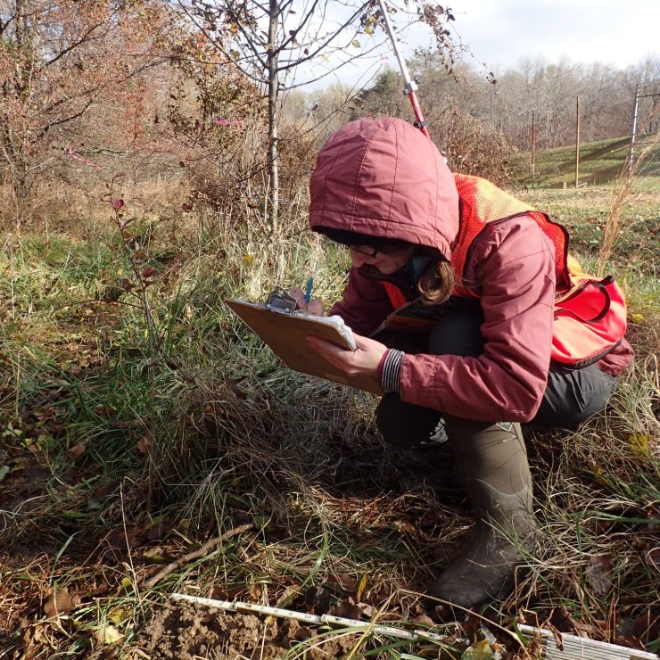
Application Procedures: A Complete Joint Permit Application (JPA) Should Include Submerged Aquatic Vegetation (SAV) Published Information
When a project will result in impacts to SAV, the SAV bed boundaries shall be delineated by either utilizing the five most recent years of mapping or by using approved surveys conducted during the growing season. Preliminary SAV mapping can be found using the Virginia Institute of Marine Science (VIMS) interactive map to forecast the presence of SAV. Additional SAV-related terms and conditions for impacts are listed for specific activities that may impact SAV, such as dredging in SAV beds.
Updated WUS Acreage Thresholds for MDSPGP Category A and Category B projects
The proposed GP-6 has updated various activity-related thresholds for eligibility under Category A projects (reviewed by MDE) and Category B projects (reviewed by MDE and COE). The total temporary and permanent impacts limit for Category A projects is generally 10,000 SF WUS and/or 200 LF of stream; however, some specific activities allow for impacts totaling 500 or 1,000 LF of stream impacts. The limit for Category B projects is generally 0.5-acre WUS and/or 1000 LF of stream. Permanent impact acreage thresholds of single and complete projects have been specified on an activity-specific basis.
Addition of a New Activity: Aquatic Habitat Restoration, Enhancement, and Establishment Activities Conducted as Compensatory Mitigation for Losses Authorized (e11)
This activity authorizes impacts to WUS for wetland or waterway restoration-related projects that are intended to satisfy compensatory mitigation for another permitted project. Based on public comment, this may be broadened to include enhancement and restoration even if it is not compensatory mitigation for another permit. As a reminder, “Compensatory mitigation at a minimum one-for-one ratio will be required for all wetland losses that exceed 5,000 square feet and stream losses that exceed 200 linear feet and that require an application submittal for Corps authorization, unless the Corps determines in writing that either some other form of mitigation would be more appropriate or the adverse effects of the proposed activity are minimal and provides a project-specific waiver of this requirement.” Specific actives include removal of accumulated sediments, releasing sediment from reservoirs to restore downstream habitat, placement of in-stream habitat structures, and other restoration-related activities.
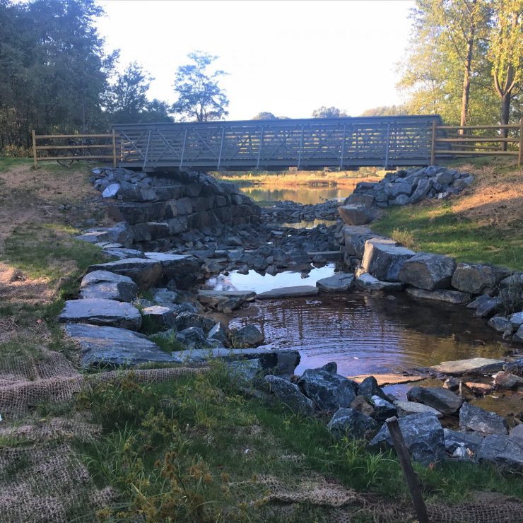
Update to an Existing Activity: Living Shorelines/Beach Nourishment, Previously Titled “Tidal Marsh Creation/Beach Nourishment” (f2)
This activity now permits Living Shoreline projects along with Beach Nourishment activities and specifies terms and conditions for each. Living Shorelines are defined as having a footprint made up mostly of native material that incorporate “soft” elements (e.g., living vegetation) with “hard” structures (e.g., oyster or mussel reefs or rock sills) for added protection. The conditions emphasize the importance of SAV structure impact avoidance and discuss planting and monitoring requirements in living shorelines as well as grain size analyses for material dredged and placed on site.
For more information, check out the Proposed MDSPGP-6 Permit and the USACE Public Notice Proposing the Reissuance of MDSPGP-6
[1] A linear single and complete project is defined by the COE as a portion of a linear project that includes all crossings of a single water of the United States at a specific location. A non-linear single and completed project is defined as having independent utility (i.e., the project would be constructed absent the construction of other projects in the project area) and may not be “piecemealed” to avoid the limits of a GP authorization.