By: Harrison Bloom, GISP
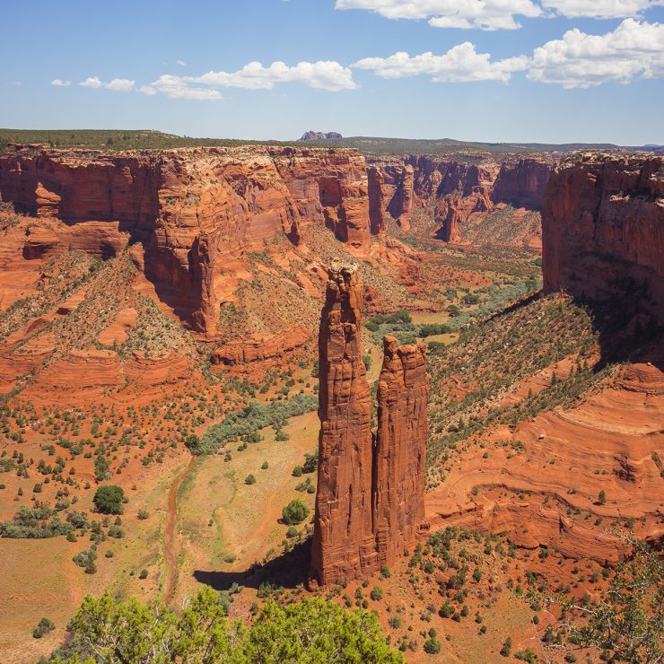
GIS technology has come to the forefront in tracking COVID-19 statistics and trends. For example, the COVID-19 map and dashboard maintained by Johns Hopkins has received billions of views worldwide. What might be less known is how GIS technology is being actively used to fight the spread of COVID-19. A recent Esri blog post highlights the important work that the Indian Health Service (IHS) and its partners have undertaken to address deficiencies in safe water access in Navajo Nation during the pandemic and how GIS technology was utilized in this mission. Straughan, in conjunction with our teaming partner JMT were honored to play a role in this mission as part of our GIS program support contract with IHS as we worked to design the field-based GIS methodology for the cistern program outlined in the article. Take a look at our project found here to learn more about the work we are doing with IHS and make sure to give the Esri blog post a read for even more information.
Through our support of IHS, we have become even more aware of how COVID-19 is disproportionately affecting minority communities, like the Navajo Nation. A recent piece from the Washington Post offers a poignant look into the lives of the Navajo Nation, an often overlooked and marginalized group. At the beginning of this pandemic, the COVID incidence rate in Navajo Nation was higher than nearly any other area in the country. As a result, their family structure, traditions, and general way of life was upended in a way that is difficult to comprehend. https://www.washingtonpost.com/opinions/interactive/2021/navajo-pandemic-multigenerational-homes-covid/
#esri #navajonation #water #GISsupportingcommunities